
The U.N. General Assembly on Friday adopted a Togo-sponsored resolution calling for wider use of world maps that show countries and continents in their true relative sizes, marking a victory for an African-led campaign to challenge centuries-old distortions in how the world is represented.
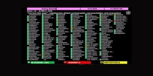
The resolution, titled “Correct the Map,” was adopted by a vote of 164-1, with six abstentions. Sponsored by Togo and backed by African Union member states, the measure promotes equal-area map projections, including Equal Earth, across international institutions, schools and media platforms.
The African Union congratulated Togo’s delegation and the Africa Group after the vote, calling the adoption “a historic step toward accurate and equitable global cartographic representation.”
“For centuries, the Mercator projection distorted global geography, shrinking Africa to the size of Greenland when our continent is actually 14 times larger,” the African Union said in a post on X. “Today’s resolution promotes equal-area maps like Equal Earth across classrooms, media, and international institutions ensuring the world map finally reflects Africa’s true scale, weight, and place in the world.”
The Mercator projection, created in 1569 for sea navigation, distorts landmasses as they move farther from the equator. That distortion makes Greenland appear roughly the same size as Africa, even though Africa is about 14 times larger.
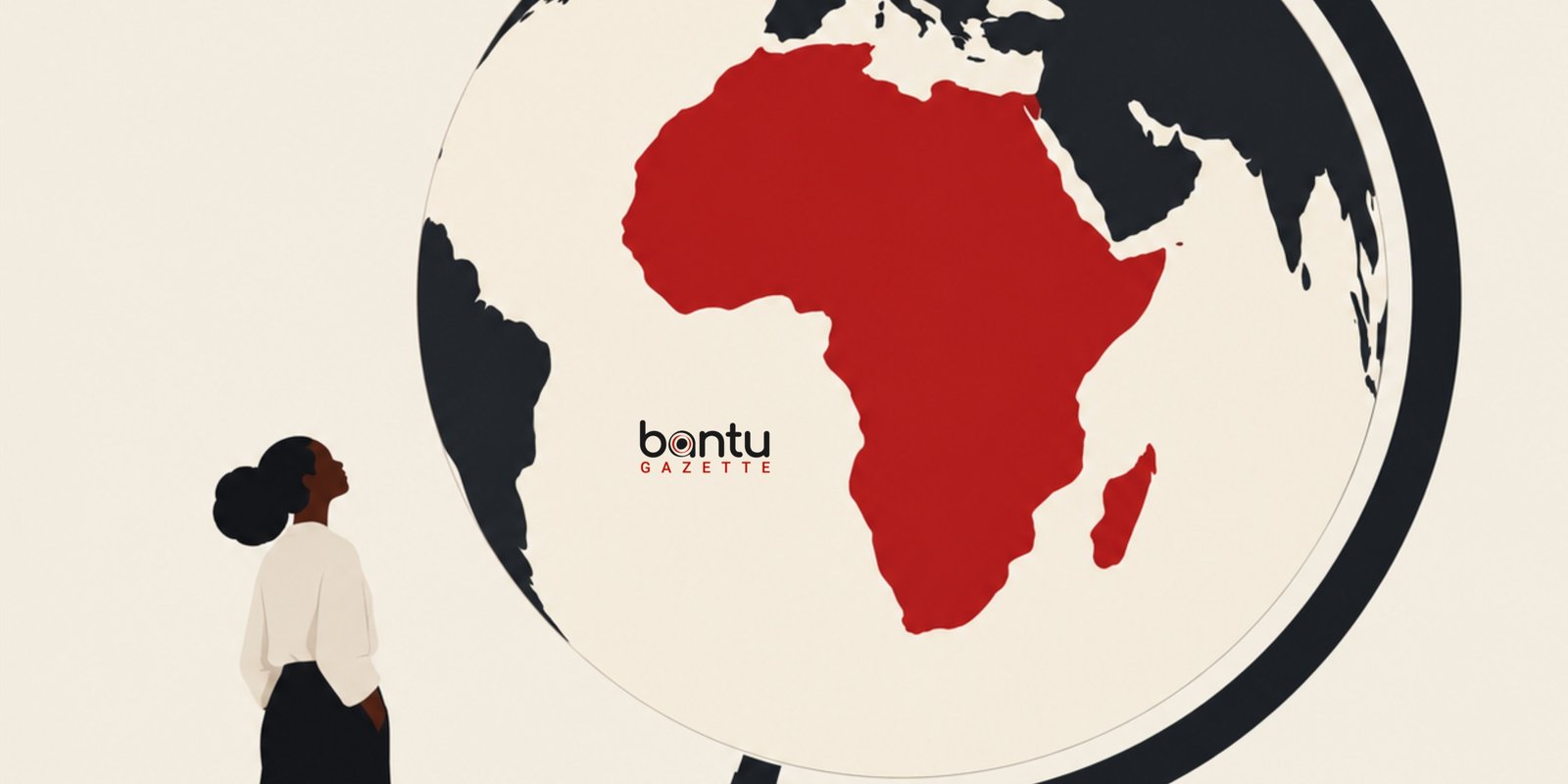
The African-led #CorrectTheMap campaign says the issue is not only geographic accuracy but also perception. Africa is larger than the United States, China, Western Europe and India combined, yet many commonly used world maps make the continent appear far smaller than it is.
Togo Foreign Minister Robert Dussey called the vote a “historic moment” and said the resolution was about justice, dignity and equality.
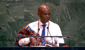
“This decision is about much more than cartography,” Dussey said in a post on X. “It is about justice, dignity, equality and the way we represent our world.”
Dussey said inherited cartographic representations have distorted the perception of Africa and other regions, adding that “correcting the map means correcting the way we see the world.”
The resolution does not redraw borders or change the geography of any country. Instead, it calls attention to the way the globe is projected on flat surfaces. Equal-area projections preserve the relative size of landmasses, offering a more proportional view of continents and countries than Mercator-style maps.
Dussey thanked U.N. member states that backed the initiative, saying the vote was “a victory for Africa” and for people who believe in a fairer and more accurately represented world.
“The map is changing. Our perspective is changing. And our world is moving toward greater equity,” he said.